| The project consists
of two parts. Firstly, the concept of a land access map will
be modelled. The methodology used and the necessary datasets
will be outlined in detail. The aim is to create a transparent
model that can be applied on any area of interest. The second
part of the project consists of performing a case study and
applying the model on a research area.
The aim of the model is to make full use of current geospatial
technology such as satellite imagery, image processing, digital
datasets, and GIS. The methodology will also include fieldwork.
The main objective is to generate a land access map based
on several datasets of different types and formats. Satellite
imagery and ground-truthing is needed for the land cover classification
process.
 |
 |
| Satellite image |
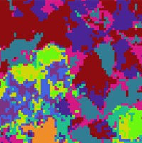
Land cover map |
 |
 |
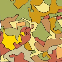
| Land use map |
Ancillary data |
Agricultural data such as growth season for crops, breeding
season for animals is necessary when suggesting restricted
access to particular crop fields and pastures. Data on plants
and wildlife, particular protected species, will be used when
suggesting level access to forests and fields. To facilitate
the process of assessing areas that are sensitive, the project
will make use of existing data on protected areas (i.e. SSSI,
SPA, SAC, and Ramsar). Furthermore, information on other seasonal
activities, such as hunting needs to be incorporated in the
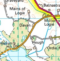
model. Ancillary data such as land ownership, roads, and paths
will also be used.

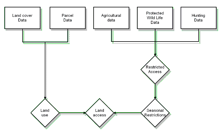
A flowchart outlining the procedure and necessary datasets
to generate a land access map. (Click on the image to view
a larger version.)
|